The two basically scripts for Social Network Analysis I explained in previous post. Here, I would like to explain how I made my SNA analysis with Gephi.
For our Gephi project we need to have two files:
1) Edges file ( with source, target and weight) dispatch_toponymsID_1861.tsv 2) Nodes file (with ID, label, lat, ion) nodes_dispatch_toponymsID_1861.tsv.
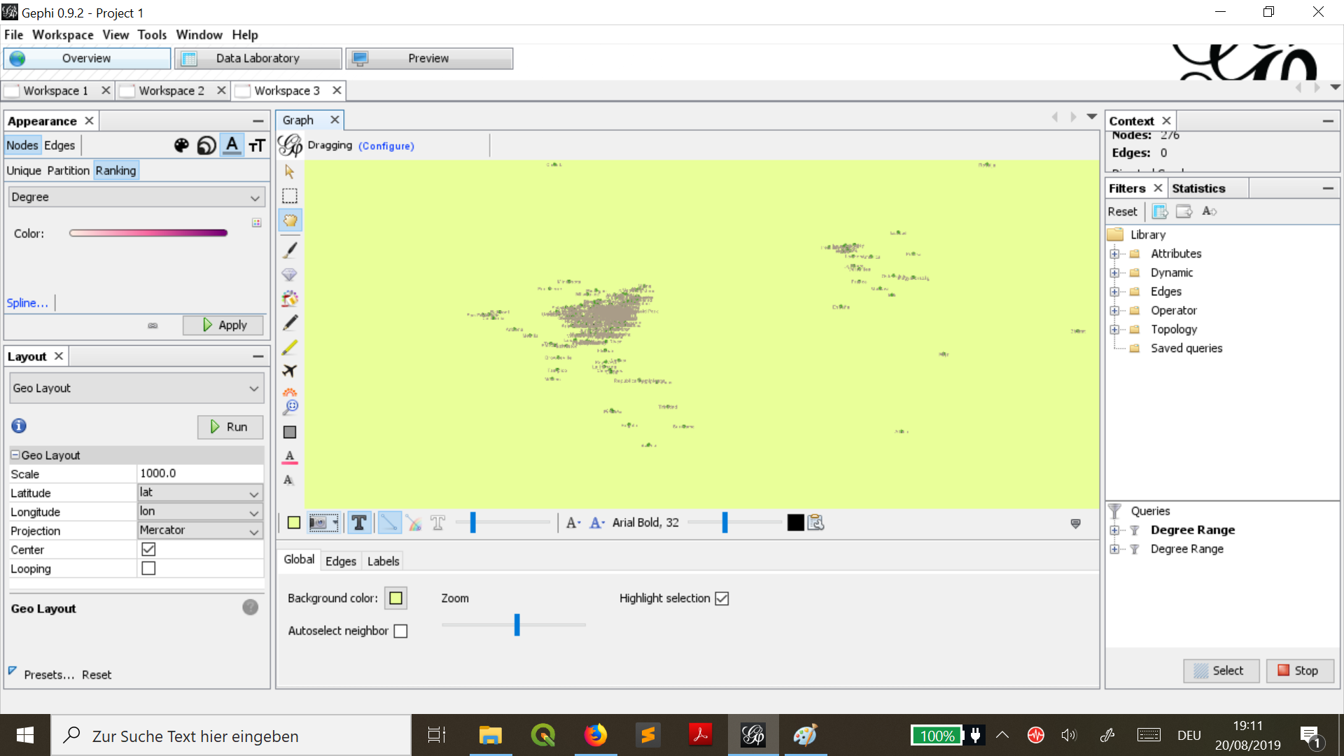
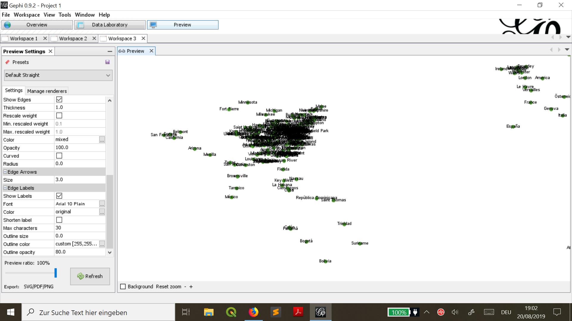
After putting nodes and edges file into Gephi I get these results.
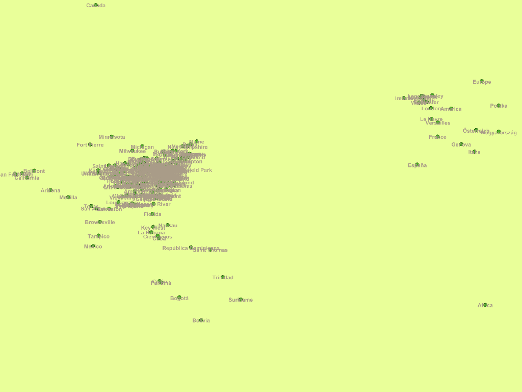
It is very important that in Gephi we set up our layout with plugin Geo Layout which had latitude (lat) and longitude(lon) for our network analysis. The graph in Gephi is very big, but I get this small picture, when I took print shot. Despite we can see connections, how these cities were related to another and the most important places that were mentioned in articles from dispatch file for 1861.